

This Regional Oceans and Coastal data hub – named as The ROC (pronounced "the rock") – is a one-stop shop for spatial datasets on Africa's marine resources and their supporting ecosystems. Currently marine ecosystems are becoming increasingly challenged by environmental problems (e.g. pollution) embedded in freshwater and brackish ecosystems. So unlike traditional data portals, The ROC does not focus on one resource (e.g., fish) or sector (fisheries).
Rather, it is a multidisciplinary hub covering different resources, environments and stakeholders connected to the health of coastal/marine communities across Africa. These diverse number of information were previously scattered across different national archives and international repositories. They are presented under three categories – biological, physico-chemical and socioeconomic data, depending on the type of ecosystem – freshwater, brackish, marine or wetland – and the target unit of analysis (see Figure below).
Diagram of the ROC Datahub dataset structure. The ROC branches into data categories (Biological, Physico-chemical, Socioeconomic), which are measured across ecosystems (Brackishwater, Community, Freshwater, Marine, Wetland) under units of analysis, ending in a raw research outcome and its metadata.
Biological
- Benthos
- Demersal
- Nekton
- Plankton
- Vegetation
Physico-chemical
- Atmosphere
- Hydrosphere
- Lithosphere
Socioeconomic
- Community
- Individual
- Institution
- Nation/State
Ecosystem
- Brackishwater
- Community
- Freshwater
- Marine
- Wetland
The objective of the Project is to provide access to both raw and processed data, in support of interoperable discovery and holistic ocean management. The Project is supported by the World Bank through the Africa Centre of Excellence on Coastal Resilience (ACECoR) and the West Africa Coastal Area management programme (WACA).
Where the data sits today
24 published datasets
| Category | Ecosystem | Unit | Datasets |
|---|---|---|---|
| Biological | Brackishwater | Nekton | 6 |
| Biological | Brackishwater | Plankton | 4 |
| Biological | Brackishwater | Benthos | 3 |
| Physico-chemical | Brackishwater | Hydrosphere | 3 |
| Socioeconomic | Community | Community | 2 |
| Physico-chemical | Freshwater | Hydrosphere | 2 |
| Biological | Marine | Nekton | 2 |
| Socioeconomic | Brackishwater | Community | 1 |
| Physico-chemical | Freshwater | Lithosphere | 1 |
| Physico-chemical | Marine | Hydrosphere | 1 |
A dataset tagged with two ecosystems or two units counts once in each path and once in the total, so the rows can add up to more than the total.
No data yet: Atmosphere, Demersal, Individual, Institution, Nation/State, Vegetation
Brief on Data Categories
-
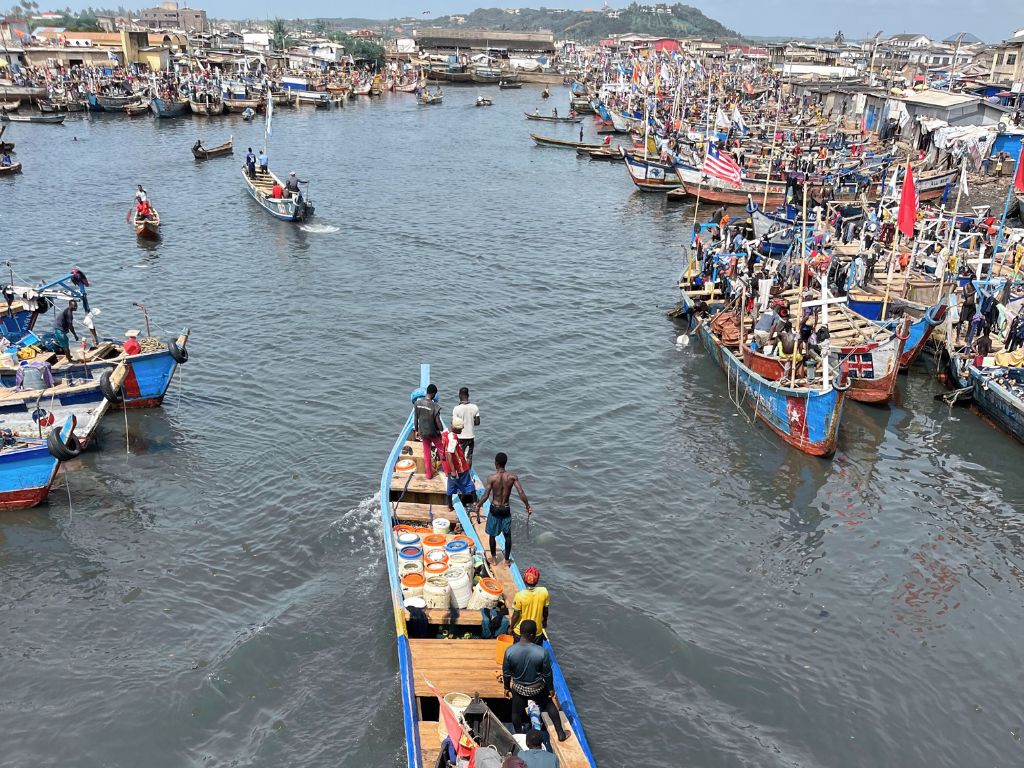
Socioeconomic Data
This covers information related to nations/states, institutions, communities and individuals connected to freshwater, brackish, and marine ecosystems
-
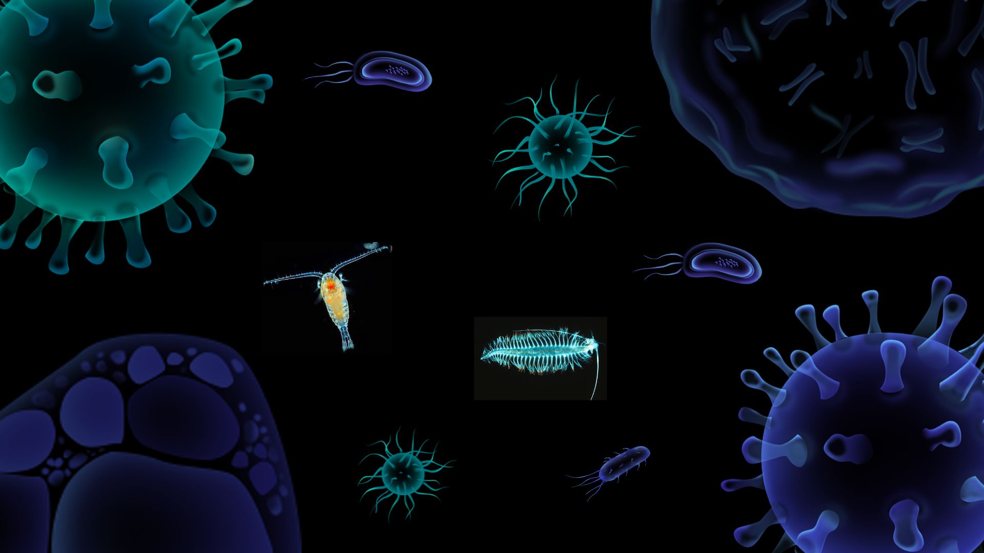
Biological Data
This covers information concerning living organisms, their products, exploitation, interactions and the natural systems that support them.
-
Physico-chemical Data
.